Long Island Weather Blog
Welcome! This website serves to provide occasional long range and winter storm forecasts for Long Island.
|
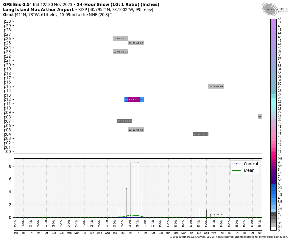
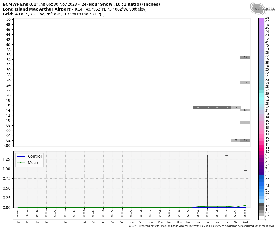
As temperatures are expected to return back to above normal beginning tomorrow, another quick cold snap appears to be on deck beginning Tuesday. There is good agreement that a mid-level trough originating in Canada will move ESE across the Northeast, bringing with it not only cold, but also a chance of snow to Long Island sometime between Tuesday and Thursday. Uncertainty remains in exactly how far south this shortwave travels and how much moisture it carries, which will dictate the chance of snow here. 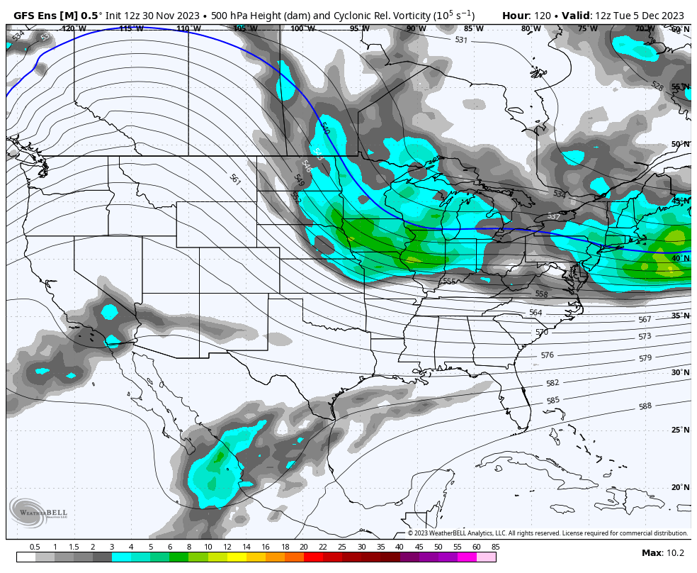 As of now, only a few members show snow at Islip on both the GEFS & EPS, however it is still very early. The EPS does not even go out through next Thursday yet, but a few EPS members do hint at snow on Tuesday. If it does end up snowing on Long Island, it's unlikely this is a noteworthy event given how fast and southwards this system appears to be moving. If this system were to tick further north however, that could change the prospects of things, as some of that moisture would be able to tap into that colder air. Certainly something to watch in the coming days...
0 Comments
|